It was a beautiful sunny day in Cumbria yesterday so with no real plans Kay & I got out for a drive in the Ullswater area.
Now, the experimental bit is that I have recently got a new phone (HTC OneX) and thought it might be a good idea to check out its camera (most of the photography on this blog has been done with a Fuji Finepix S2000HD).
We visited the eastern side of the lake (Hallin Fell, Howtown, Martindale and its 16th Century Church). There are a few photos below taken from the phone & uploaded to the blog.
Sunday, 14 October 2012
Wednesday, 10 October 2012
Alum Pot
With: Kevin, Clare & Ferg
Weather: Fine & Dry
Where: Borrins Moor, Yorkshire Dales
The recent dry spell (which started the day after we last went caving!) continues, however, I have to say it was wetter in Alum Pot than we anticipated.
Our aim for the evening was simply to get in some rigging / SRT practise in order to prepare for harder trips planned later this winter. A quick(ish?) change in Alum Pot lane & a stomp up to Diccan entrance soon saw us underground. We'd packed rope sufficient to "bottom" Alum Pot, however, it was apparent from pretty much the outset that this might be a little ambitious in the time available this evening.
A flat out crawl through Diccan entrance saw us quickly at "the slot" where bags were transferred from person-person ahead of the short roped climb down to the head of "Dollytubs Pitch". We temporarily divided at this point Kev & Ferg going down the direct route, whilst Clare & myself went down via the small window; on to the ledge; a short traverse & then on to the bottom of the pitch. Given that there was little chance of us getting to the bottom these pitches provided a good opportunity to play around with rigging and knots.
Re-united at the window into Alum Pot itself we rigged the "Greasy Slab" - it was wet at this point as more water than we had imagined was still draining off the land.
Picture to the left is Kevin descending the Greasy Slab.
Its a pity we got to this point in the cave as it was going dark outside as I've been keen for some time to get photos with the back lit Pot as a background ( see below for the best I could manage tonight).
We rigged the next traverse as well so as to be able to get a look down into the real depth of Alum Pot before deciding that in order to make our call in time we'd better start the ascent. Once back up the Greasy Slab we divided again - this time Ferg & myself pairing up for one ascent whilst the others took the alternative prusik..
Re-tracing our steps it wasn't long before we surfaced into a fine clear & starry night.
Best view I could get looking up & out of Alum Pot
Ferg & Clare above the Greasy Slab
Friday, 5 October 2012
Caving: Plenty of water in Upper & Lower Long Churns
With: Ferg, Clare & Kevin
Weather: Following a very wet spell, what was forecast to be a a largely dry day turned out wetter than expected!
Where: Yorkshire Dales National Park
The In2venture staff winter caving programme saw its second outing yesterday afternoon, the day turned out to be wetter than forecast which after a very wet spell produced some very sporting conditions in Upper & Lower Long Churn caves. We passed through the system from Doctors Bannisters Handbasin - Diccan exit taking every opportunity to practise basic rope work etc.
Limestone Pavement
Kevin at Dr Bannisters
Kevin & Clare & Plenty of Water
Wet Ferg!
More photos on facebook:http://www.facebook.com/pages/Mals-Blog-Canoes-Mountains-Caves/192537504137037
Sunday, 30 September 2012
September in County Antrim
Its been a strange passage of time: leaving Blaithwaite; moving house; taking time out with Kay; new treatment for Kay - a lot of change. September comes to a close and a new chapter begins tomorrow.
For the last few years we have always tried to take time away at the end of September, this year planning has not been easy and was made more complex by Kay starting another course of chemotherapy mid-August.
Anyway, with the treatment being well tolerated and a review with the consultant completed about ten days ago we hastily put together a visit to Northern Ireland's County Antrim coast, despite the worst efforts of "Nadine" (the storm produced some spectacular seas) we were blessed with good weather for our visit to this spectacular coastline. There are a series of photos below that show a few of the highlights:
Good place to stay, Ballyclough Cottages, we stayed in Bluebell Cottage
Walking in the footsteps of Giants!
Carrick-a-Rede
Ballintoy
Old Bushmills Distillery - Well Worth A Visit
Nadine wreaking havoc off the County Donegal Coast
Wednesday, 19 September 2012
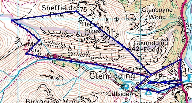
Sheffield Pike & Heron Pike
With: on my own
Weather: fine early autumn afternoon; long sunny spells; cloud above summits & strong southwesterly breeze
Where: Lake District, Eastern Fells
Another afternoon exploring the new "local" fells and another couple of summits that have long been on the "to do" list now visited.
Once again just a short drive to Glenridding where on this occasion, the in my opinion, excessive Lake District National Park parking fees were grudgingly paid.
It was a fine afternoon as I set off alongside Gldenridding Beck, crossing at Rattlebeck Bridge and continuing up the Greenside Mine road where Glenriding Screes looked impressive in the afternoon sun.. This was a first visit to the Greenside area where the workings are extensive.
The plan was to spend as much time as possible off established paths and to proceed by following the line of Swart Beck toward the general area of Sticks Pass, however, initial attempts to access the gill from around the Youth Hostel were thwarted by a fence so I continued ascending on the path behind the buildings ultimately following the line of a leat to regain the gill. This was not a great route choice decision as the next section involved fairly continuous scrambling over mine debris so ultimately I returned to the path just ablove Lucy's Tongue / the Dam - nevertheless this did add some interest! The scene at the footbridge across the beck was very reminiscent of the mining environment that is encountered in Swaledale.
Heron Pike is about 700m SE over more boggy ground and past a few unremarkable tarns.
Similar excellent views were available:
Descent was via a steep path to the shoulder between Heron Pike & Glenridding Dodd from where the Greenside Mine road was regained and a short walk back into Glenridding.
I like Glenridding, especially when its quiet, it was now about 6:30 and most folk had gone home. The coffee from Fellbites Cafe was good and it was pleasant to be able to sit outside in the early evening at this time of year.
Distance: Approx 6 miles
Heoght Gain: Approx 1900'
Sunday, 16 September 2012
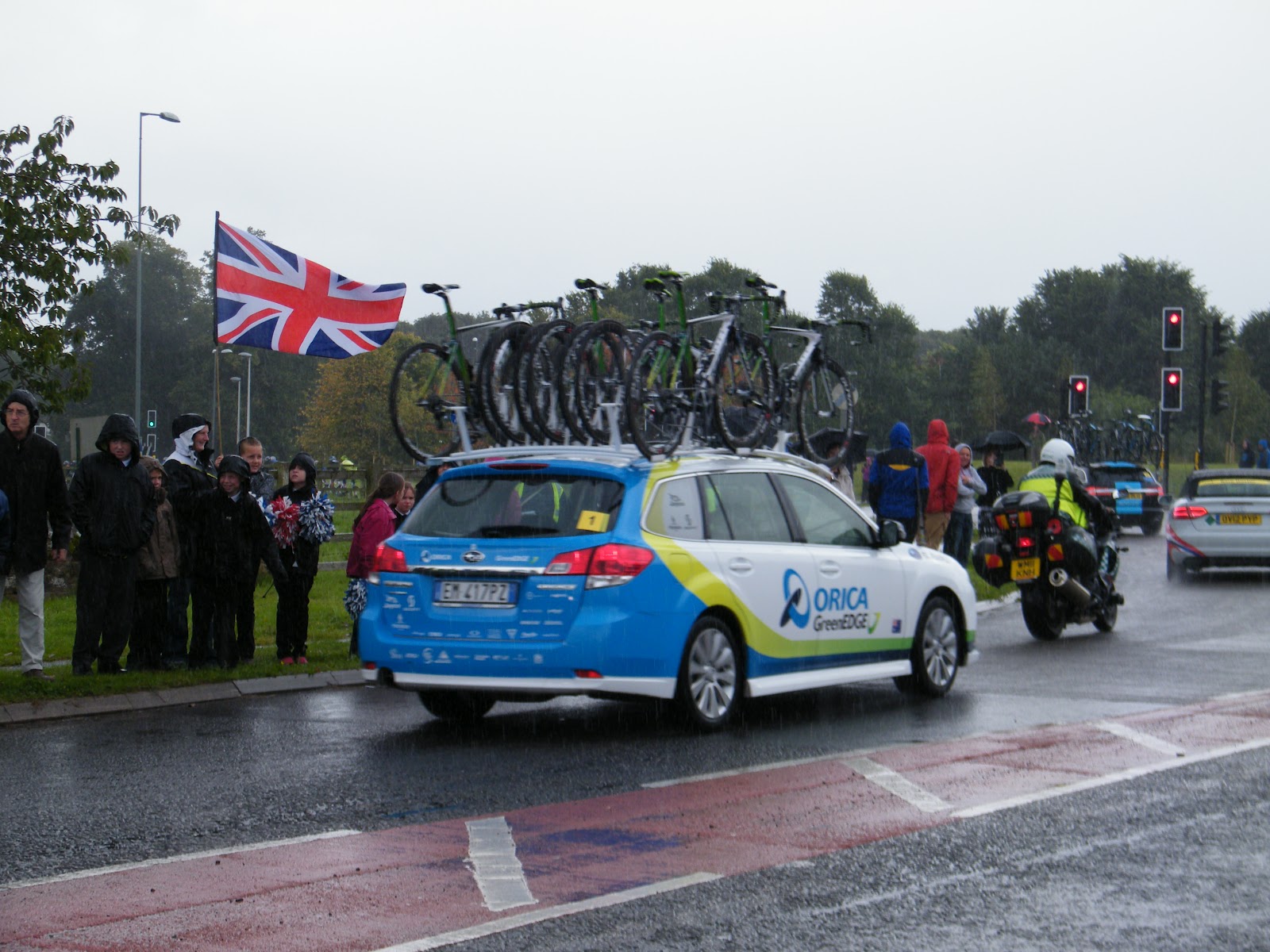
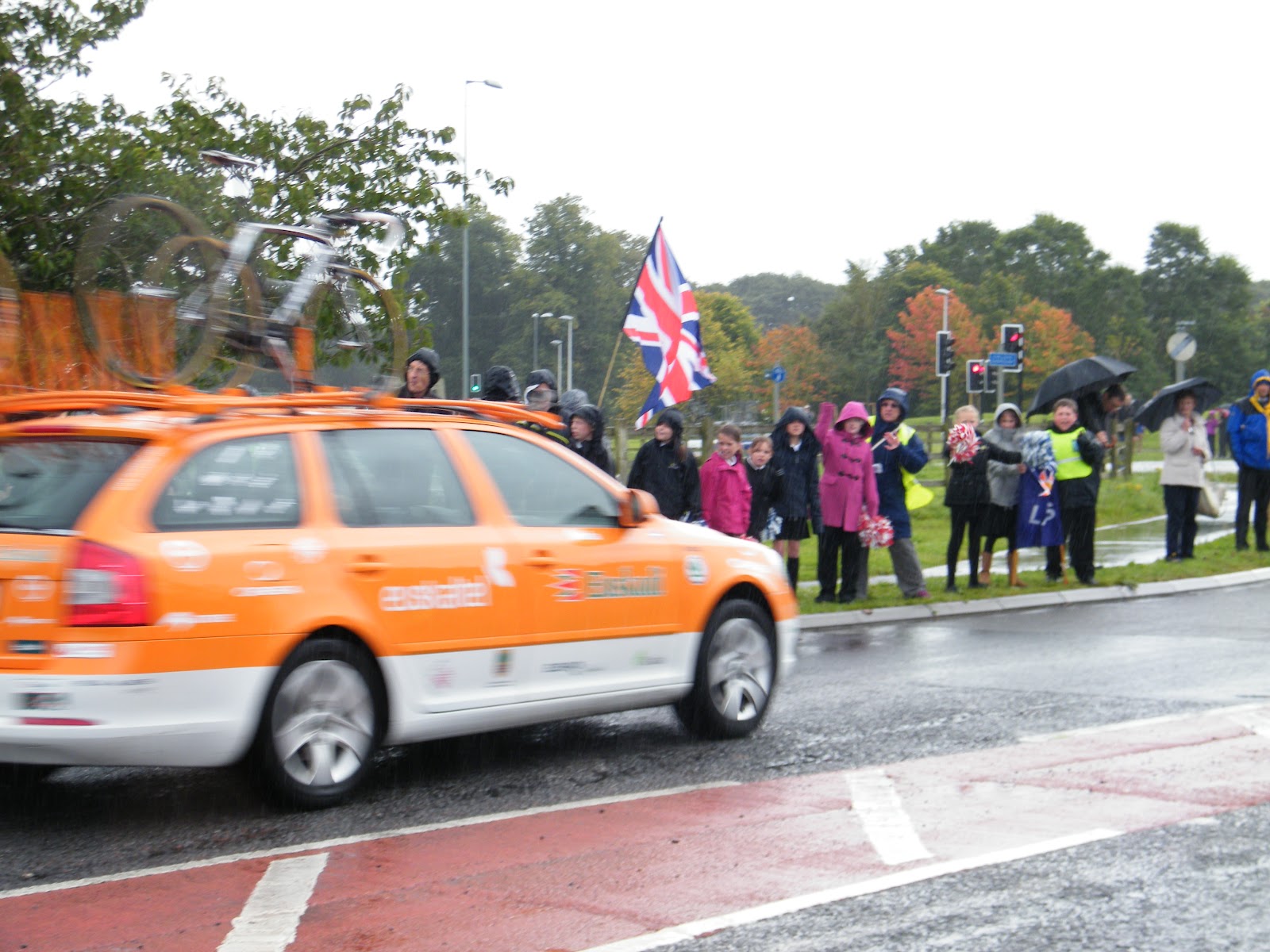
Tour of Britain 2012
Subscribe to:
Posts (Atom)